News Summary
The Lowcountry is preparing for severe thunderstorms this Sunday, with a high temperature of around 72°F and a 90% chance of rain starting Saturday night. Winds could gust up to 40 mph, and residents should be cautious of damaging winds and possible tornado activity. The storm system will move through Charleston and Berkeley Counties from noon to 4 p.m., after which clearer skies and cooler temperatures are expected. Stay safe and keep your emergency kit ready as the storm approaches!
Severe Thunderstorms Set to Rock the Lowcountry This Sunday
Hey folks, it looks like the Lowcountry is in for quite the weather shake-up this Sunday! If you’ve been enjoying the mild temperatures, you might want to prepare for a *stormier scene* as severe thunderstorms are forecasted to roll in. So grab your umbrellas and batten down the hatches!
What to Expect: Temperatures and Conditions
First off, get ready for a *high temperature of around 72°F* on Sunday. Sounds good, right? Well, things are going to change fast because we’re also looking at a *90% chance of rain*, starting as early as Saturday night. Those scattered thunderstorms could really shake things up!
Winds and Storm System on the Move
The winds are going to be quite the show as well. Breezy conditions will prevail, with winds coming from the south at about 15 to 25 mph. And that’s not all – before the *cold front* arrives, we can expect some wind gusts to reach anywhere from 35 to 40 mph! So if you’ve got outdoor plans, you may want to keep an eye on the sky.
The Cold Front and Its Impacts
Now, let’s talk about the cold front. This weather change is *racing in from the west*, making its arrival known between 10 a.m. and 1 p.m. on Sunday. For those of you in Charleston and Berkeley Counties, keep an eye out, as the squall line is projected to pass through your area from noon to about 4 p.m.
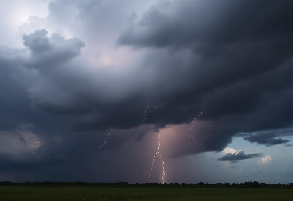
This storm system is packed with potential hazards, including *damaging winds exceeding 60 mph*. Yes, you read that right! There’s also a risk of a brief spin-up tornado, cloud-to-ground lightning, and even large hail. That’s why it’s crucial to stay alert and prepared. Downed trees and power lines could become a reality, so make sure to stay safe indoors if the weather takes a turn for the worse.
Anticipated Weather After the Storm
What about after the storm, you might ask? Well, following the cold front’s departure, we’re expecting some *clearer skies and cooler temperatures* on St. Patrick’s Day! How’s that for a little silver lining? Temperatures will drop to around 52°F as winds shift to the west-southwest at 10 to 20 mph, with a lesser chance of rain (about 50%).
Weekend Weather Recap
To sum it all up, it’s shaping up to be an eventful weekend weather-wise! Rain chances are going to ramp up Saturday night, leading to a storm system packed with heavy rain and potential flooding on Sunday. Keep your plans flexible, and don’t forget about your *emergency kit* in case of power outages or other storm-related issues.
Outlook for the Week Ahead
Looking ahead, cooler, drier conditions will return on Monday. But hold onto your hats because a *warming trend* is expected to kick in on Tuesday and Wednesday, giving you a taste of spring once again. Who doesn’t love that?
Be Prepared!
So remember, while the weather can be unpredictable, staying informed and prepared is key to riding out storms. Whether you’re hunkering down with a good book or planning a cozy movie marathon, make sure you’re ready for whatever mother nature throws our way!
Stay safe, and enjoy the rest of your weekend, Lowcountry! We’ll keep you updated on all things weather-related as the storm approaches!
Deeper Dive: News & Info About This Topic
HERE Resources
New Restaurant ‘Merci’ Opening in Charleston
Charleston Faces Challenges as Tropical Storm Debby Strikes
Additional Resources
- Count On 2 News
- Wikipedia: Severe Weather
- Island Packet
- Google Search: Severe Thunderstorms
- Weather.com
- Encyclopedia Britannica: Thunderstorm
- Live 5 News
- Google News: Severe Weather Charleston